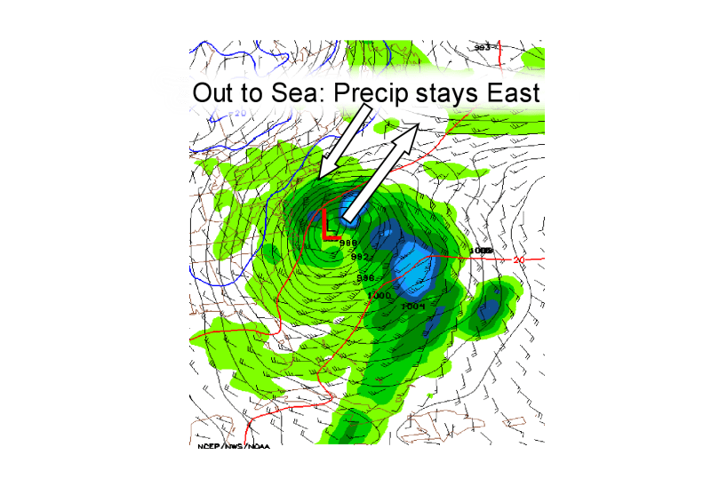
The storm on Wednesday isn’t looking great… I will maybe post a snowfall map tomorrow night if I have time. The storm is consistently going out to sea on the models and unless some amazing change occurs, nothing will happen….
Tonight: Becoming partly cloudy overnight. Lows are below freezing, so watch for refreeze Low 29
Tomorrow: Becoming mostly cloudy by the afternoon. Hi 44
Tomorrow Night: Cloudy skies for most of the night. Maybe a stray snow shower in the southern areas. Low 32
Wednesday: Once again cloudy skies. Unless the storm moves West, we’re not getting much precipitation Hi 38 Low 32
Thursday: Finally clearing out… also becoming breezy. Spring maybe starting to take over!!!!!! HI 43 Low 30
Also, week in review and month in review I will try to post tomorrow… Anyway, here is an image of the weather model run of the Wednesday storm and what it’s doing:

