The last large severe weather outbreak for a while will plague the area today as a strong cold front plows east. Following this cold front temperatures will plummet into the 70s (can you believe it!). But today, highs will reach the mid to upper 90s with an Exessive Heat Warning issued for the entire coverage area. Because the temperatures are so high, this front will spark thunderstorms with many, many lightning strikes. With these storms the main threat will be the lightning and wind, unlike some of the previous storms which hail and tornadoes associated with them.
The storms will move through later this afternoon and a Severe Thunderstorm Watch will probably be issued.
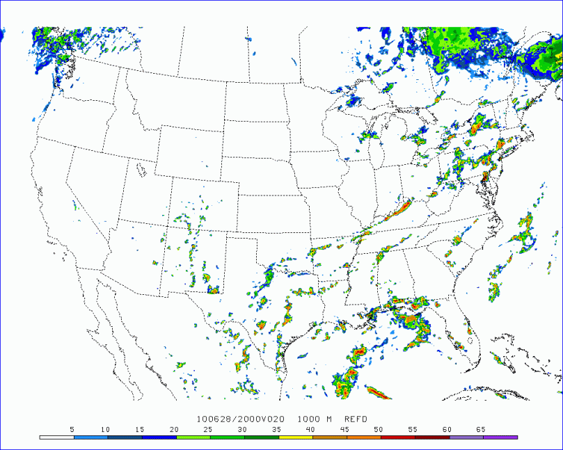
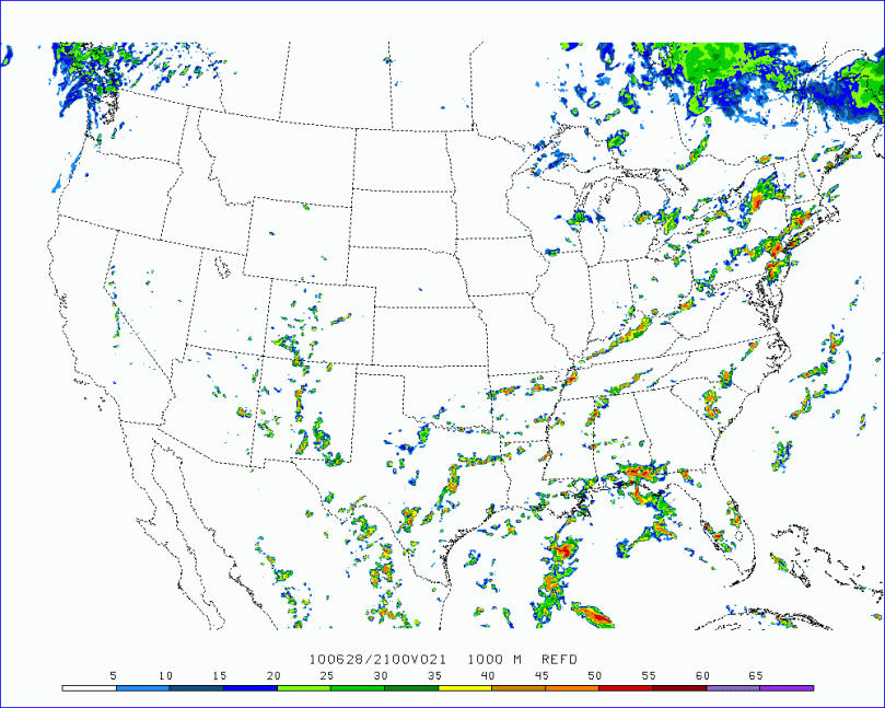
Here are two images of the simulated radar for later today. Note that most people will get some much needed rain, but only the “lucky” areas will get thunderstorms:


