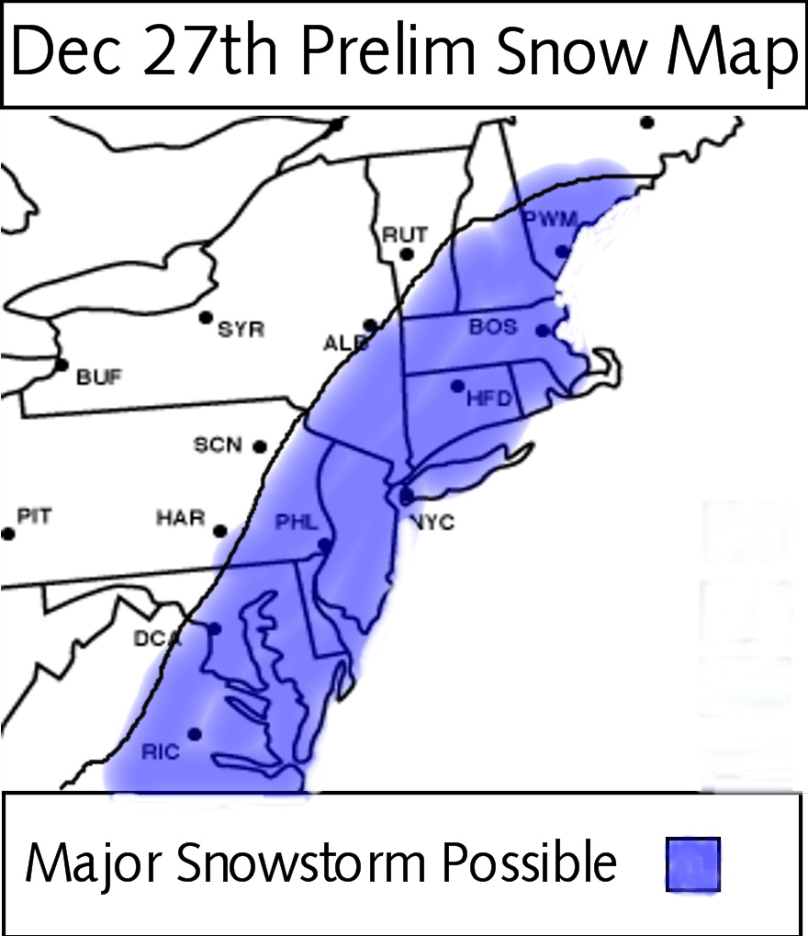
It is looking right now that a major blizzard is coming to the area for December 27th. We will not be having a white Christmas, but, may have a white New Years. Since my last post, there hasn’t been much change with the model consensus. The European Model continues to show a major blizzard and has been showing one for the past 3-4 days now.
The most recent run of the GFS model shows the storm just grazing our area with 3-6 inches of snow. It’s a better solution than what the GFS had in previous runs, but still no blizzard.
Most of the other models have the storm in between the European and the GFS. Personally, I think the European is the right solution. It is known as the most accurate model in the world, and has been showing a blizzard for the Eastern seaboard for a long time. Also the NAO is going to tank, which means a snowstorm is more likely than not.
I have decided to make a very preliminary map for this storm. It outlines the places where a major snowstorm is possible. I don’t want to come to conclusions at this point because the consensus between the models is still very poor. Once the GFS and Euro are on the same page about things, I’ll post a more detailed map with actual snow totals.

Adios till next time
