Update 8:00 PM:
Well the snow has finally reached its peak in many places in the area. It is true that totals won’t be as high for the area as the low pressure system went more east than expected. There hasn’t been an update for the snow totals since 4:30, so I won’t start listing those until after the storm. I did go outside my house and gathered an average of measurements.These averages ended up being around 5.5 inches, which is a pretty substantial amount considering that this storm isn’t close to being finished.
Here is the current radar view. The Nor Easter should continue bringing moisture in as it stalls south of long island and eventually starts to move northeastward.

Update 3:00 PM:
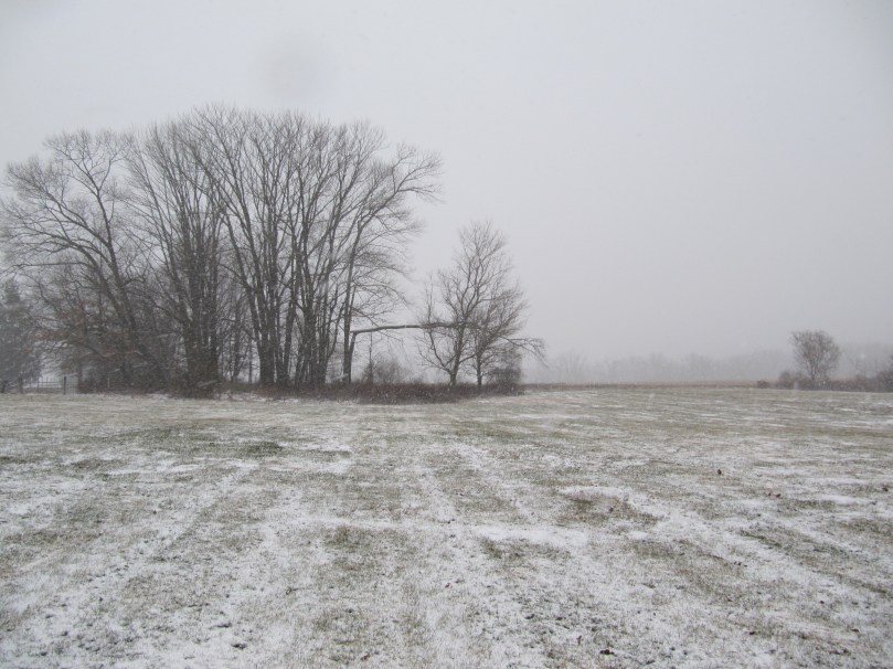
Snow is really starting to pick up here with visibility levels dropping to 1/4 of a mile in places. At my house moderate to heavy snow is falling and I would say a good 2 inches are on the ground as of 3:00 PM. I took a few pictures when I went outside around 40 minutes ago. Since then visibility has dropped and the snow has gotten much heavier. This snow rate should continue over the whole area for the rest of the day into tonight, where the low pressure will stall south of long island and really intensify. The snow should start winding down tomorrow morning and sunny skies should prevail by Monday afternoon. There is still a Winter Storm Warning until 1:00 PM tomorrow.
Anyway, here are the pictures:


Update 12:00 PM:
Light snow has started to fall at my house in Bucks County. Snow has started in much of the area and will continue to intensify as the low pressure m0ves northward and strengthens. Over the next few hours, expect 1-2 inches of snow on the ground as conditions rapidly deteriorate.
Right now the heavier snow bands are moving northwestward and will eventually encompass the whole area:

Update 9:00 AM:
Hi everyone, the blizzard is currently sitting just south of the Outer Banks and strengthening rapidly. The storm is currently taking a turn to the north which will gradually bring the precipitation up from the south. Snow will start out fairly light later this morning, but will pick up in intensity by this afternoon and evening. During this time, snow rates of 1-2 inches per hour are possible. The snow will wind up by Monday morning leaving a crippling snowstorm in the area.
You can follow the storm on the Radars Page or just keep track with the radar posted below. I will hopefully have some pictures as the day progresses:


where do you get your graphics from (plagiarism) or do you make them yourself?
really kilgore? Do you have anything else to do?