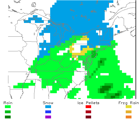
As we put the last storm behind us and into the history books, another storm is on the horizon. This system is fairly different from the last one, with more warm air aloft moving in as the storm pulls through. The primary low will ride through the Great Lakes, while a secondary will form off the Delmarva coast. This setup will give us snow at first, then changing to a freezing rain, and then to all rain by the afternoon. It will surely be a day of extremes as we will see everything fall out of the sky (even cats and dogs).
Here are some maps to help sort out the time-frame of this storm:
1 AM Tuesday:
Well, that’s all for now on this storm. I will be giving updates as the weekend progresses. I will have no comment on how this storm will affect the schools. This will come on either late Saturday or Sunday.


