I have two things to talk about in tonight’s post:
1. The National Weather Service has posted a Winter Weather Advisory for the area into tomorrow. This is a little too over the top in my opinion. There will be little if any snow, and the amount of freezing rain that falls will quickly be melted by a changeover to rain. Tomorrow will be a pretty nasty day however, so don’t expect to soak up and sunbathe in the winter sun…
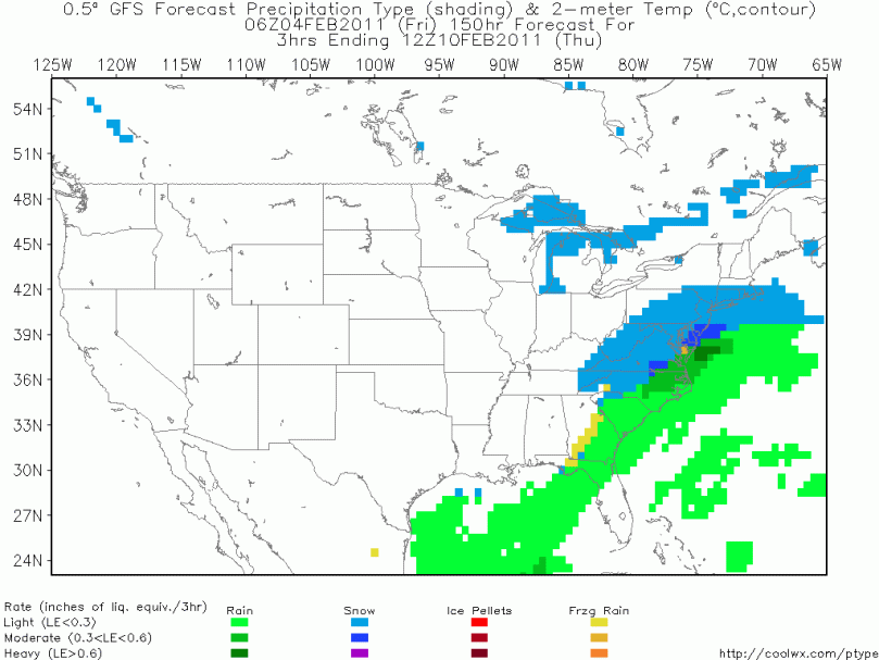
2. Alright. I promise all the people who can’t wait till Spring that next Thursday’s storm will be the last for a little while. However, this storm coming next Thursday could be the biggest one yet this year. From the looks of a few select models I’ve reviewed, the setup will be a northern and southern jet phase that will ultimately culminate in a big storm riding up the east coast. Unlike the last few “slop” storms, the one coming up will have plenty of cold air to work with.
Because we are still 6 days out, the classic “model waffling” is occurring. The European is showing the big storm, while the gfs model isn’t anymore. This lack of consensus will continue until probably 54 hours out. This means I will hopefully be ready to post a snow map by Tuesday night or Wednesday morning.
I will have another post tomorrow with an update…
And of course a graphic of the storm Thursday:

