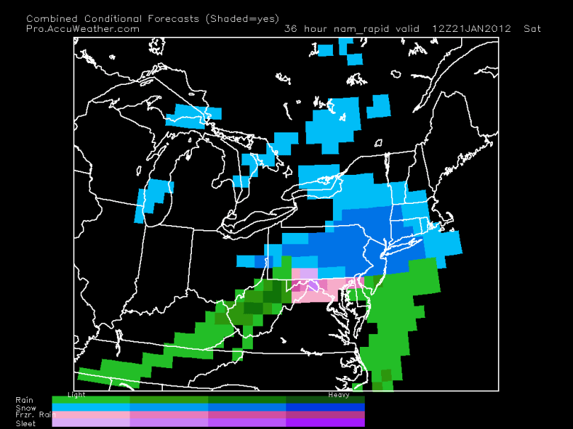
The feeling of snow is in the air as our first really snowstorm of the winter will arrive Saturday. After many models were showing a rain/mix storm a few days ago, they are now trending toward a mostly snow solution. What does this mean? Well, it means that we could receive 2-4 inches of the white stuff by Saturday night. A Winter Weather Advisory will likely be issued. I know many schoolchildren will not be happy about snow on the weekend, but I would be grateful we are seeing any at all. Just be patient.
Here is the NAM model at 7 AM Saturday showing moderate snow falling:

Because this storm is a last-minute forecast, I hope the stateDOTs salt the roads by Saturday morning. The roads will be pretty treacherous throughout the day on Saturday if they are not treated. I would not recommend even driving on the roads at all Saturday morning into the afternoon. If you have to drive, then do what you have to do… just be careful and aware.
Timeframe:
The snow should start early Saturday morning and last into the late afternoon before moving out. Mixing will occur in places south of the city. The north and west burbs’ should see mainly snow with maybe some sleet mixed in at times. I will post updates if anything changes with this storm over the next 24 hours.
My snow map will be released tomorrow along with other details.
