
Hello dedicated followers! It has been an astonishing 687 days since my last post! While I could delve into what has happened since then (Hurricane Hermine, Hurricane Matthew’s impacts on the outer banks, 2016 being the warmest year on record, California’s historic drought followed by historic flooding, Hurricane Harvey, Hurricane Irma, Hurricane Maria, and the recent wildfires in California), it would probably take another 687 days to complete a comprehensive overview (with a separate addendum on Trump and the tragedy that is the EPA). So instead, I will start out with an educational article on one of the most essential tools of meteorological forecasting: teleconnections.
Posts on real weather in the Delaware Valley will begin tomorrow, and I will attempt to post at least weekly in perpetuity. Also, enjoy the new and improved look, and feel free to send suggestions!
Onto the teleconnections!
Teleconnections quantify changes in the atmosphere that can have wide-ranging effects on the global climate. Each of the following teleconnections is used by forecasters to determine weather patterns across the world. While all teleconnections measure different elements ranging from mid-level atmospheric changes to water temperature anomalies, all are very interconnected. As a forecaster, it is critical to not only understand the dynamics of each teleconnection but also the relationship between them.
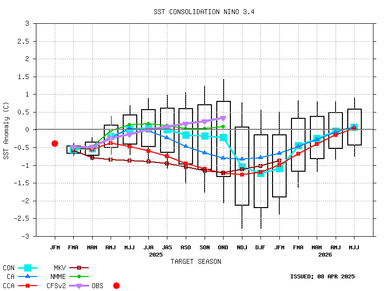
El Niño Southern Oscillation (ENSO) – This is the El Niño/La Niña that everyone knows and loves! The ENSO is the most extensively studied teleconnection and has a significant impact on global climate. The ENSO is a variable pattern in the tropical region of the Pacific ocean. When this area of the Pacific is warmer than average, it’s called an El Niño (positive ENSO). A colder Pacific is represented by the La Niña (negative ENSO). The ENSO’s impacts on the globe are significant but not well understood. We know stronger El Niños are accompanied by warmer temperatures in the US (think 1997-1998 and 2015-2016). However, La Niñas, neutral ENSO periods, and weaker El Niños have more localized effects. For the northeastern seaboard, only the El Niño has a clear correlation with our weather (warmer when strong, snowier when weak).
North Atlantic Oscillation (NAO) – The NAO is determined by the differences in pressures over northern latitudes and central latitudes of the North Atlantic. When the NAO is positive, the northern latitudes have lower pressures than the central latitudes. The opposite is true when the NAO is negative. The NAO is one of the most important teleconnection patterns used by forecasters because of its impacts on the jet stream, especially in Europe and North America. A negative NAO means a colder and snowier period for our region. A negative NAO transitioning to neutral or positive generally indicates an incoming snowstorm.

Eastern Pacific Oscillation (EPO) – Similar teleconnection to the NAO, except located in the Pacific. When the EPO is negative, pressures in the northern latitudes are higher than the southern ones. A positive EPO is the opposite. A negative EPO generally corresponds to a cooling period in the eastern US.

Arctic Oscillation (AO) – Determined by opposing pressure patterns in the middle and high latitudes of the Northern Hemisphere. A negative AO occurs when there’s higher pressure over the polar region and lower pressure in the mid-latitudes. The opposite occurs during the positive phase. The AO is an excellent indicator of the track of storms and the location of cold air. With a negative AO, the higher pressure over the poles allows more cold air to drop into the mid-latitudes (continental US).

Madden Julian Oscillation (MJO) – The MJO is represented by an eastward tracking wave that travels across the planet. The cycle of the MJO lasts 40-60 days and is represented by 8 different phases. Each stage can have a disparate impact on temperature patterns in the US and is a predictor of tropical activity. In the winter months, the effects of the MJO on the east coast are generally not well understood (although it is thought phases 1 & 8 promote coastal storm development)

Pacific-North American (PNA) – The PNA is a prominent mode of low-frequency variability in the Northern Hemisphere. It measures the pattern of 500 mb height anomalies. 500 mb is a measurement of the pressure in the middle of the atmosphere. It is extremely useful in determining the locations of pressure systems and identifying patterns in the middle latitudes (30 to 60). The location of the PNA is determined by a quadripole ranging from the southeastern US to the Aleutian islands in Alaska. A positive PNA is represented by ridging in the west (above average 500 mb pressures) and troughing in the east (below average 500 mb pressures). It is also represented by above average temperatures in the west and below average temperatures in the east:


A negative PNA is characterized by the opposite pattern:


Below is the current forecast for the PNA:


Hi Jason – great to see you restarting Philablog! Thanks for this amazing detailed explanation of teleconnections. Looking forward to your analysis of this cold front we’re now in. Best wishes for 2018.