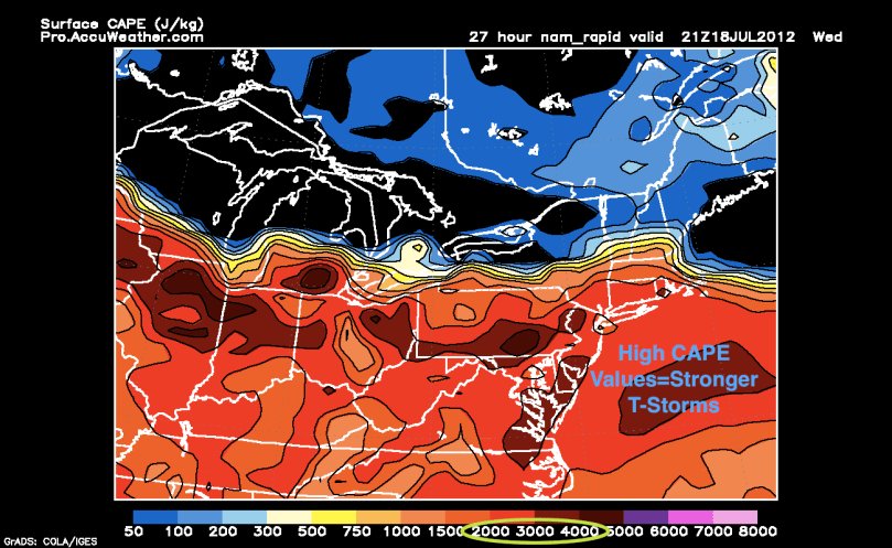
Hi everyone. After Sunday’s storms, it has gotten extremely hot throughout the Philadelphia region. Today’s highs reached into the upper 90s with heat indices in the 100s. All of this oppressive heat will end after a cold front passes through the region tomorrow.

All of the heat ahead of the front, instability of the atmosphere, and high CAPE values will fuel some very nasty thunderstorms tomorrow afternoon. The first cells should start popping up to the northwest of us around noon and begin to barrel southeastward toward the area. I expect a Severe Thunderstorm Watch to be issued in the morning tomorrow. The storms will have damaging winds, large hail (strongest storms will have hail that approaches 2″), and frequent lightning. If you see dark clouds tomorrow, go inside as soon as you can.

After the storms pass by tomorrow, temperatures will moderate. Highs could only reach the upper 70s on Friday, before a slight warm up for the weekend.
