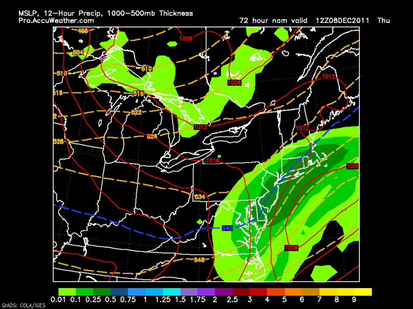
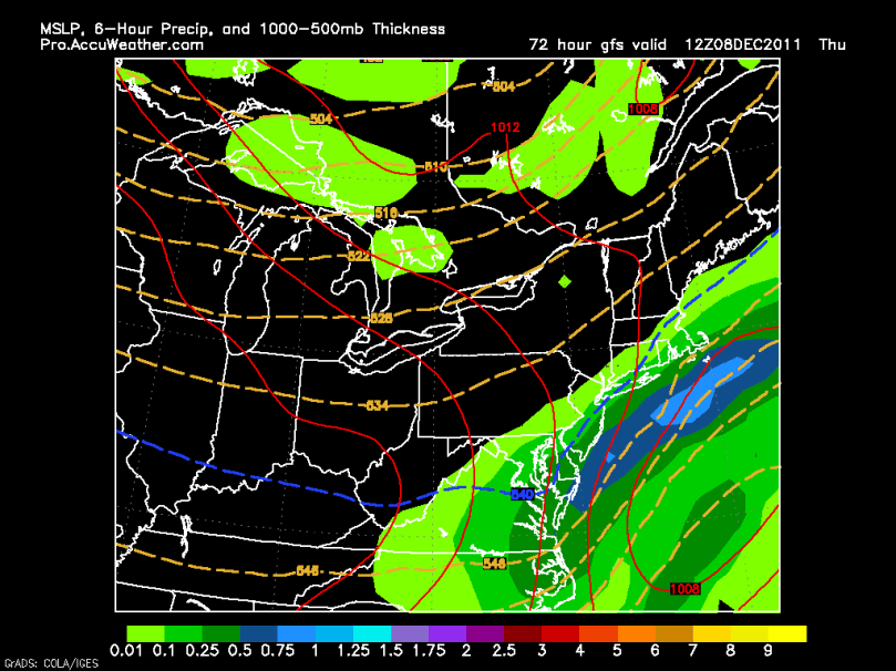
It has been a very interesting day to track the forecast models. We are dealing with a storm very similar, with regard to the amount of cold air, to the October storm. The cutoff for snow will be sharp. The snow will also be wet and heavy where it falls. The storm should start Wednesday late night and end by Thursday afternoon. What type of precipitation will fall is still in question.
I am going to stick with the three scenario method I started yesterday:
Scenario 1: Like before, the storm takes the benchmark and rides up the coast. Storm will rapidly strengthen and bring in enough cold air for snow to fall around the area. If this scenario comes true, 3-6 locally 8 inches of snow would fall. I am currently favoring this scenario.

Scenario 2: Once again, like yesterday, the storm would go out to sea and not affect the area. Would not strengthen in time to bring in cold air and heavy precipitation. Right now I am not leaning toward this solution.

Scenario 3: This is a little different from yesterday. The low would strengthen faster than scenario 1, and hug the coast. We would not have enough cold air to support snow until the very end. Minimal snow totals likely from this scenario. This setup is the current trend shown by the models. I am not sure if it will come true or not.

Stay tuned!!
Here is an overview of the three scenarios:

