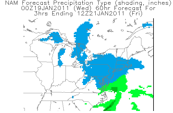
It’s been a very busy time for many meteorologists and weather enthusiasts. The pattern we are in right now just keeps sending storms across the country and off the coast. Another coastal storm is expected to arrive on Friday early morning in a similar setup that we had for the post-Christmas storm.
Current thinking: There are 2 scenarios (huge surprise there) for this upcoming storm. The European and GFS computer models want to weaken the phasing of the storm and wrap it up near Atlantic Canada. The NAM and a few other models have generally shown an earlier and stronger phase which would bring a significant snowstorm to the area Friday. If the storm follows the GFS scenario, we would get a general 3-6 snowstorm. If the NAM solution is right, a general 8-12 inches would fall Friday morning. One positive aspect of this storm regardless of what scenario comes true is that we’re definitely getting some snow. Friday morning commute will be pretty bad even with the 3-6 inch scenario.

Schools (To make my classmates happy): For the 3-6 inch scenario, a delayed opening is likely as the snow will fall smack in the middle of the morning commute. If the 8-12 inch scenario is right, then there would be widespread closings.
I am confident we’re getting at least 3 inches Friday morning. What I’m not fully sure of is the storm track and the specific snow totals.
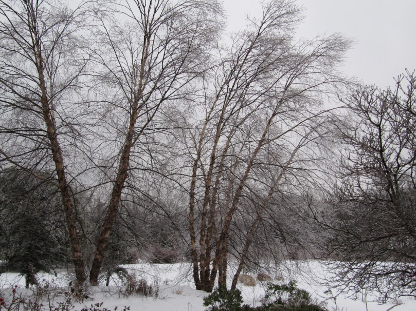
And finally I want to thank my mom for taking these pictures of the ice on the trees this morning after I left for school. This was before temperatures rose above freezing earlier today.


More updates to come on the Friday storm including a snow map tomorrow night most likely
