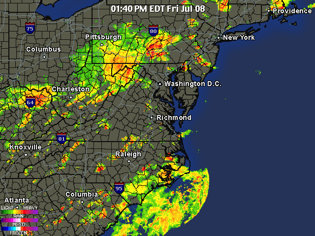
Hi everyone. Well we have another day with severe storms in the forecast. The last few days have had more isolated storms, but today a more widespread event is expected. A frontal boundary associated with a low pressure system is expected to pass through our region later today. Combine the ultra high dew-points with the instability from the front, and we get some fairly nasty storms. Right now there is a flash flood watch for the area because of the slow movement of the storms. Two inches of rain could fall in less than an hour for some of these storms! Expect more storms to pop up and intensify as we head into the late afternoon.
Tomorrow should be much nicer then today as we finally get some relief from the hot and humid weather.
Here is the radar as of 1:40 PM. For continuous radar updates, check out the radar tab at the top of the site.

