
Hello all! We’ve been in an interesting pattern this winter. Most storms have taken an inland path, generally staying away from the coast. This type of pattern brings warm-ups during storms followed by brutal cold periods between them. Tomorrow’s storm will be more of the same.
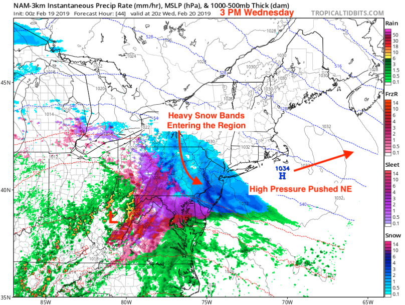
An area of low pressure will track north from the lower plains tonight into tomorrow morning. As it intensifies over the Ohio Valley, an area heavy snow will push into our area by tomorrow morning. The snow will be heavy at times, accumulating quickly by the evening rush. By sunset, warmer air from the south will enter the upper atmosphere. This will cause a SW to NE changeover from snow to sleet to freezing rain. Eventually, a complete changeover to rain across the area will occur.

We will warm up considerably on Thursday, with highs reaching close to 50. This should be enough to melt away any remaining snow on paved surfaces.
Impacts
Travel on Wednesday afternoon and evening will be trecherous, especially before the changeover to rain. Please take it slow and, if possible, consider working from home in the afternoon. Thursday morning could still be slick in spots, but rising temperatures should improve road conditions as the day goes on.
Future Outlook
I am currently tracking a possible coastal storm next Wednesday. Depending on how the models react to the current pattern, we could be looking at our first large nor’easter of the season. Stay tuned.
